A favorite destination for Winchester area runners is the Third Battle of Winchester trail. If you aren’t familiar with this location, one trailhead is located behind Millbrook High School. You can find ample parking and easy trail access close to the practice football field. The trail surface is crushed gravel and dirt with just a small paved section This area includes several options for distances. I will highlight a 5 mile loop that Connor and I do periodically when we need a change of scenery.
Quick history of the Third Battle of Winchester:
“The Third Battle of Winchester (or Battle of Opequon), was fought just outside Winchester, Virginia, on September 19, 1864, during the Valley Campaigns of 1864 in the American Civil War.The battle marked a turning point in the Shenandoah Valley in favor of the North. Jubal Early’s Confederate army for the most part remained intact but suffered further defeats at Fisher’s Hill and Tom’s Brook. Exactly a month later, the Valley Campaigns came to a close after Early’s defeat at the Battle of Cedar Creek. Victory in the Valley, along with other Union victories in the fall of 1864, helped win re-election for Abraham Lincoln.” — More info @Wikipedia
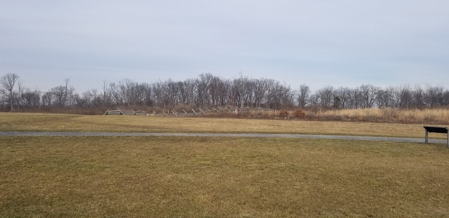
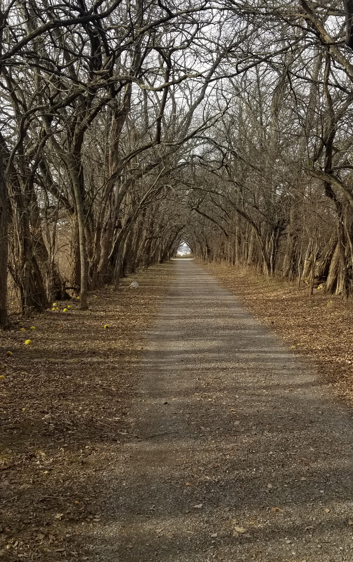
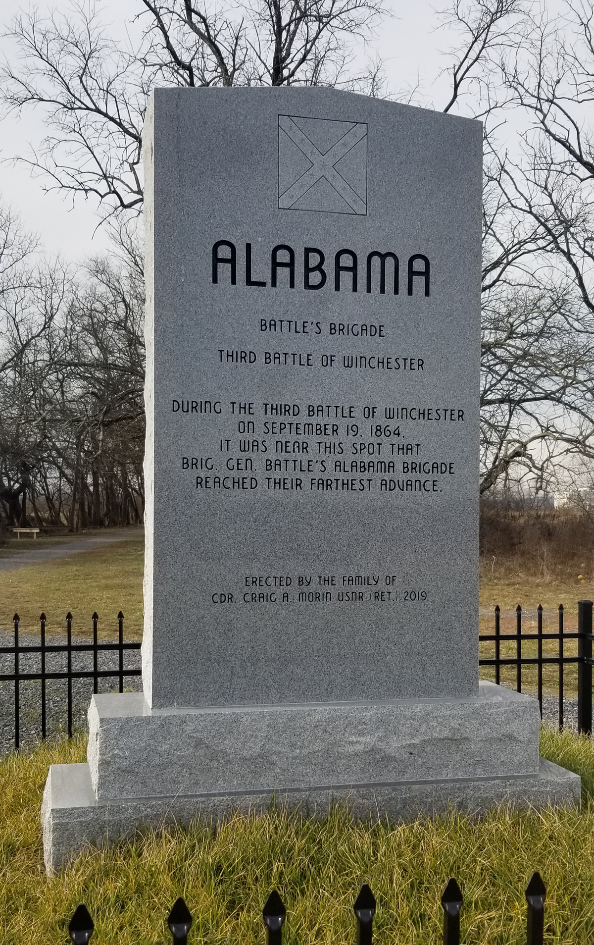
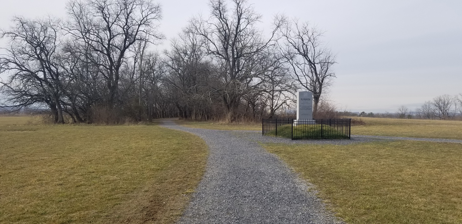
Once you have parked behind Millbrook High, head toward the grass hill that leads onto the trail. Follow the gravel trail through the trees, keeping an eye out for wildlife. I have spotted deer through this stretch, and last time we visited, Connor and I saw a pair of ring tailed hawks tending to their nest. Early on, the trails splits off into a “Y” where you can go either left or right. I prefer going to the left. The trail comes to an opening in the woods that takes you across a field toward a tunnel of trees. This is the most iconic part of the trail (aside from the Civil War monuments of course). Run through the tree shrouded tunnel and you will come to a “T”. Go left. The trail goes through a field where there is another historic marker you can read and learn about the battle.
QUICK NOTES
WHERE TO PARK:
Behind Millbrook High School
Map & Directions
DISTANCES:
3-5 mile gravel routes as well as some side loops to explore
TURNS:
- Left at “Y”
- Left at end of Tree Tunnel
- Left or Right onto Bunny Trail
- Straight past tree tunnel
- Turn around at Redbud Parking Lot
- Left into tree tunnel
- Left at end of tree tunnel
- Straight back to your car
The next split in the trail you will come to is what I have heard called the “Bunny Loop”. You can run in either direction because it loops around back to the exact spot you are starting from. Up to this point, the run has been fairly flat. The loop has a couple small hills and can be a little muddy in areas. Once again, you will pass a couple monuments. More opportunity to brush up on your local history or just run past and save the learning for another day.
Once you have looped all the way around, return the way you came toward the tree tunnel. If you want to cut your run to about 3.5 miles, turn right and go through the trees. If you wish to make your run 5 miles, go straight. Fair warning, though, this direction has some hills, but also some very interesting history right off the path. You will run across a field where you can see a Civil War era home to your left. A posted sign talks about its significance in the war. Prepare for a down-then-up hill challenge. This is the only paved section of the route. Once you descend the hill, you will approach a stream crossing with a wooden bridge. Be careful if it is wet, the bridge can be slippery. Follow the path up to the other side of the valley and into an open pasture. On your right, you will see some cannons pointed across the small valley set up approximately a couple hundred yards off the road. Connor and I jogged across the grassy field to get a closer look last time and read about how the cannons were fired across the valley to thwart incoming troops. It was fun to visualize the battle in front of us which happenedso many years ago.
The trail ends at a parking lot on Redbud Road. You can turn around at this point and retrace your steps back through the valley. This time at the end of the tree tunnel, take the left trail. You will cross the field and enter the trail through the woods where you first began, but this time on the opposite side. Continue on the gravel path until you come out of the trees by the football practice field.
That’s it! The Third Battle of Winchester Trail. Check it out! Leave a comment if you have run this trail and have any recommendations or historical facts.